בידספיריט | רכב Edward Wells A New Map | 16/10/2022 | Locati LLC
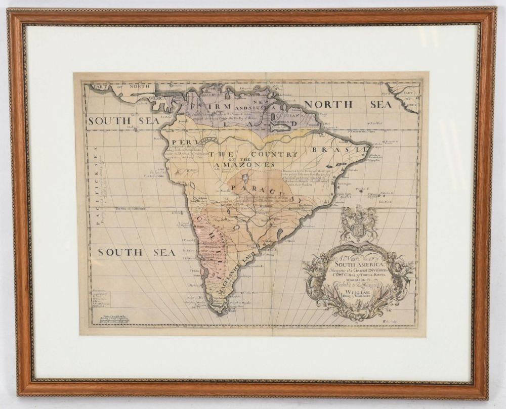
Edward Wells A New Map of South America, 1700 - Edward Wells (1667-1727), engraved by Benjamin Cole, ”A New Map of South America Shewing its General Divisions, Chief Cities & Towns; Rivers, Mountains & c.”, London, circa 1700, hand colored engraved map, with elaborate title cartouche inscribed ”Dedicated to his Highness William Duke of Gloucester.” Dimensions: plate 14 3/4 x 19 1/4in; frame 22 1/4 x 27in Provenance: From a Bucks County collection. Condition: Not examined out of the frame. There is a vertical crease down the center of the map. Heavy fading to hand coloring throughout. Matted, framed and glazed.